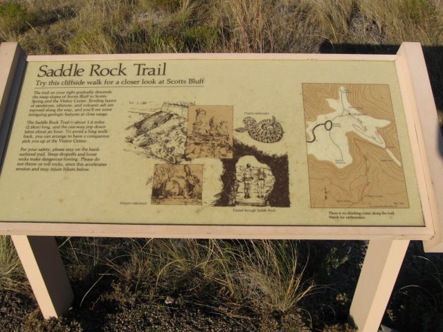
Saddle Rock Trail is great way to see Scotts Bluff National Monument. I will take about 45 minutes to reach the top and a little less coming back down, the Trail is 1.6 miles (2.6 km) one way. There is a stretch that is fairly steep. You should take water with you. Stay on the paved trail, watch for slipper conditions, falling rocks and rattle snakes. If you encounter a snake, keep your distance and go around if possible, if not back away and wait for it to move on.
Click on Photos to Enlarge
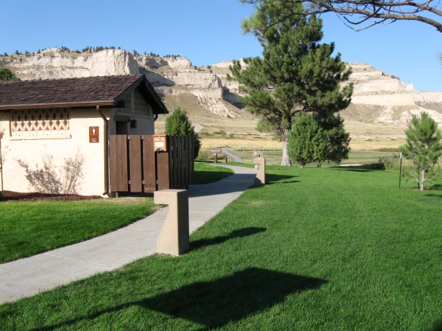
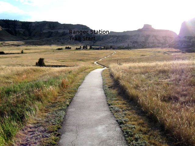
1. Saddle Rock Trail starts on the east side of the Ranger Station. Saddle Rock Trail is 1.6 miles (2.6 km) one way.
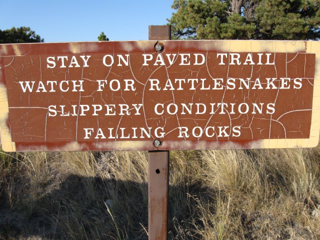
3. The sign means what it says.
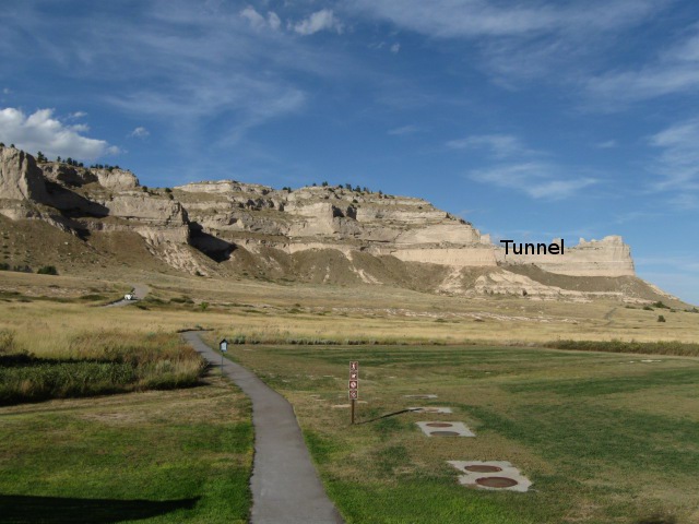
4. The Trail starts heading north, is flat and easy walking, you can see the tunnel.
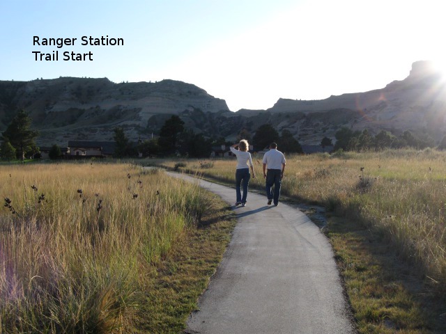
5. Looking back from where we just walked toward the Ranger Station and Trail Start.
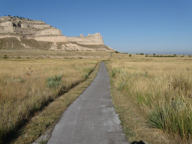
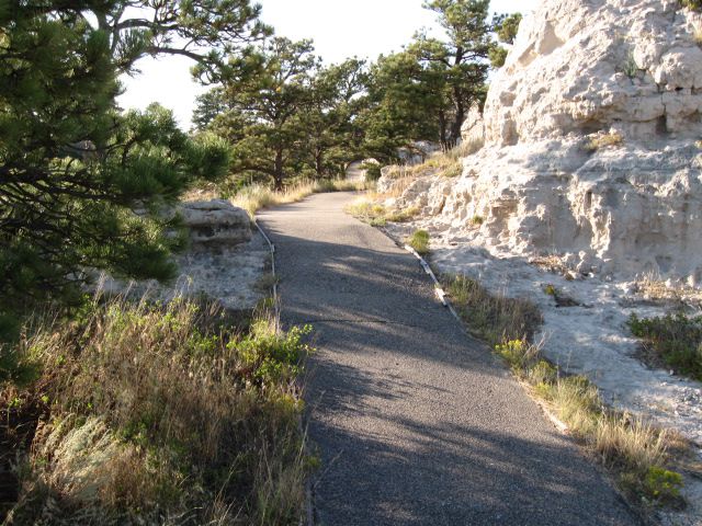
6. The Trail turns to the right and is still flat and easy walking.
8. Looking back from where we just walked toward the Ranger Station.
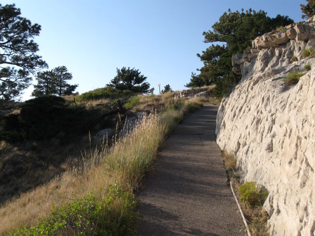
10. Going around first bluff, the trail starts to get steep from here on.
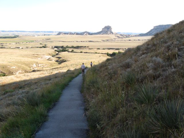
11. Looking back from where we just walked around the first bluff.
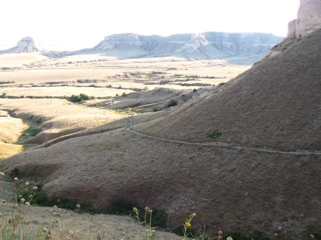
12. Looking back from where we just walked around the first bluff.
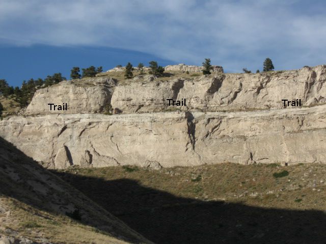
13. Looking back from where we just walked around the first bluff, the trail continues up the side of the bluff.
14. Looking back from where we just walked around the first bluff, the trail continues up the side of the bluff. It will turn and start up the bluff toward the Tunnel.
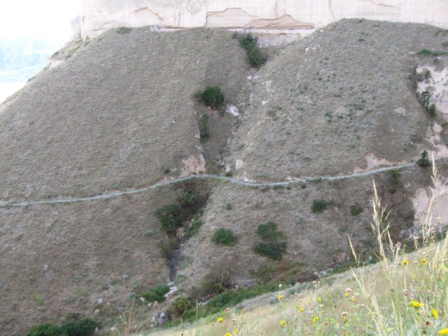
15. Looking up toward the Tunnel from the side of the first bluff, image #13.
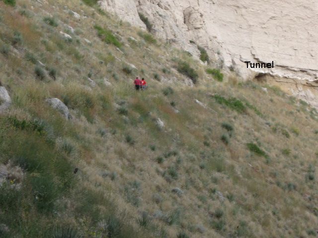
16 . Looking up toward the Tunnel from the side of the first bluff, image #13, a couple hikes are coming down.
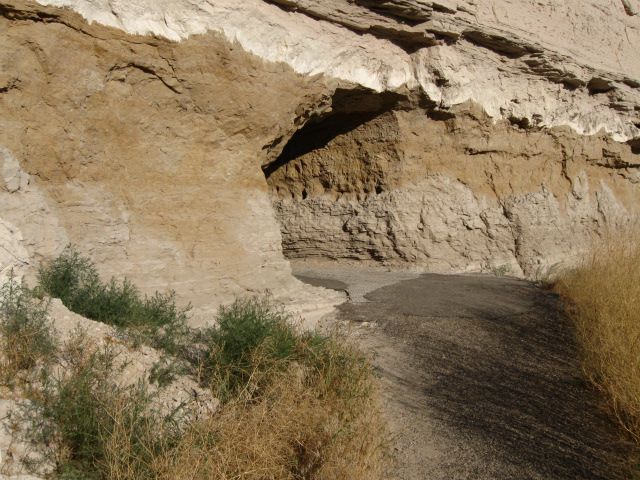
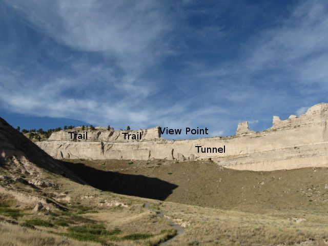
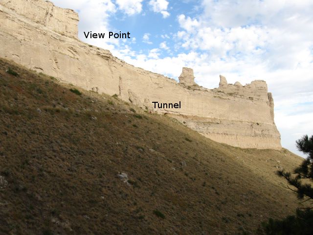
18. The entrance to the Tunnel on the South side.
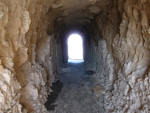
19. The Tunnel looking from the south entrance to the north entrance.
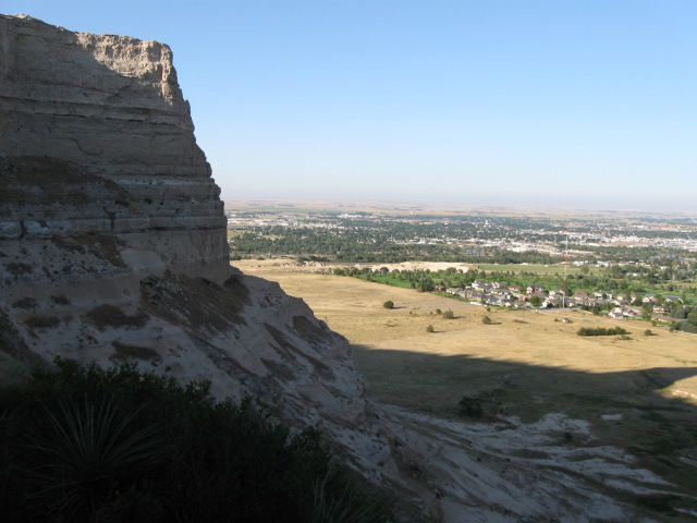
20. Looking from the Tunnel's North entrance, North East toward Scottsbluff.
21. Looking from the Tunnel's North entrance, East toward Gering's golf course.
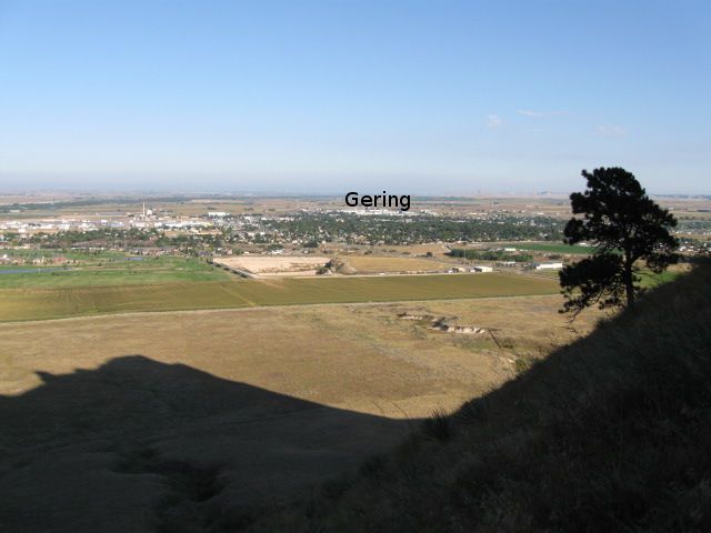
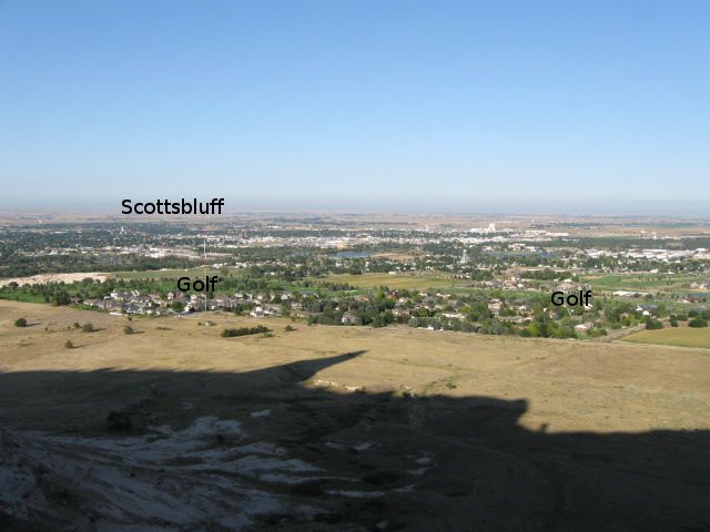
23. Looking from the Tunnel's North entrance, East toward Gering.
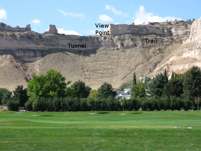
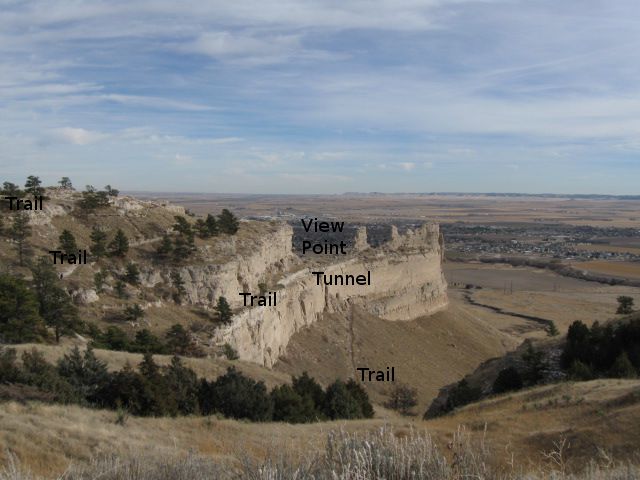
41. Scotts Bluff National Monument north east view from the Gering golf course. You can see the boy scout's zig zag trail up to the tunnel and the trail from the tunnel to the top of the bluff.
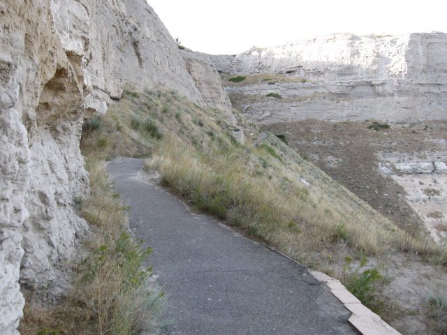
24. From the Tunnel's North entrance West up the trail to the top of the bluff.
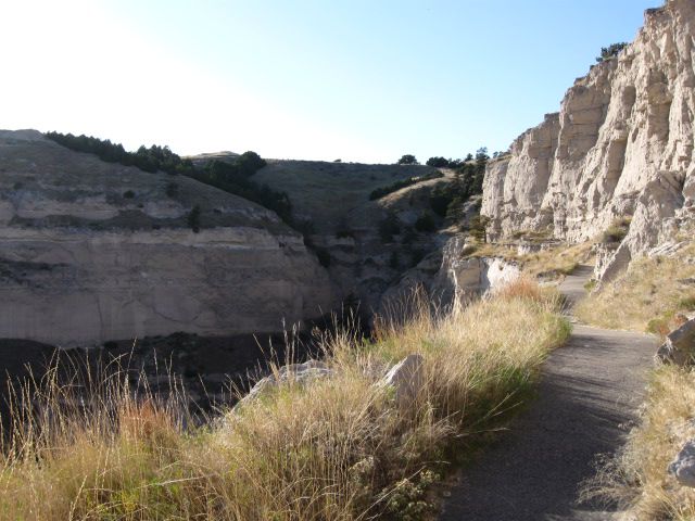
26. Continue East up the trail to the top of the Bluff.
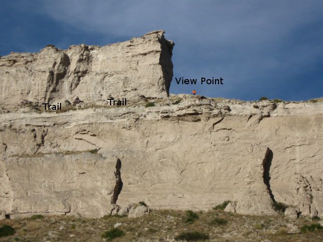
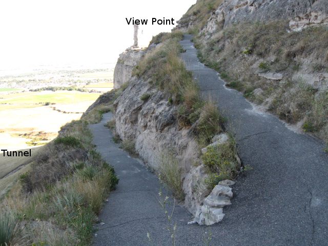
27. Top of this Bluff, viewing point, trail heads West along edge of Bluff. Caution, there is a 30 foot straigh drop from this ledge that the trail is on. Trail is only 5 - 6 feet wide in places.
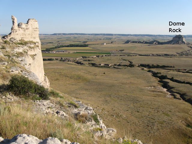
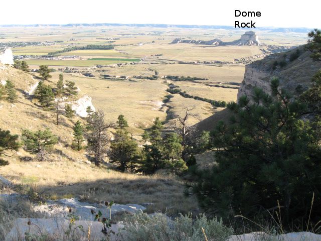
29. From viewing point, looking South East, Dome Rock to the top right.
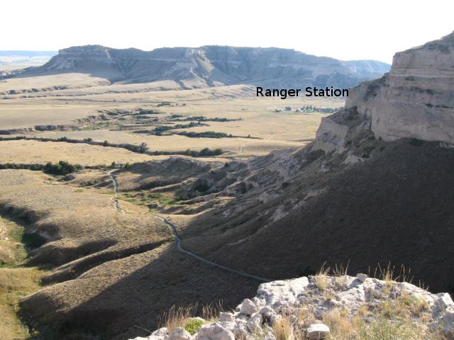
30. From viewing point, looking South, toward first Bluff, trail and Ranger Station.
31. From viewing point, trail heads West along edge of Bluff. Caution, there is a 30 foot straigh drop from this ledge that the trail is on. Trail is only 5 - 6 feet wide in places.
32. From viewing point, trail heads West along edge of Bluff.
32b. From parking lot at top viewing point, looking West down at trails and tunnel.
33. At end of bluff, continue up the trail.
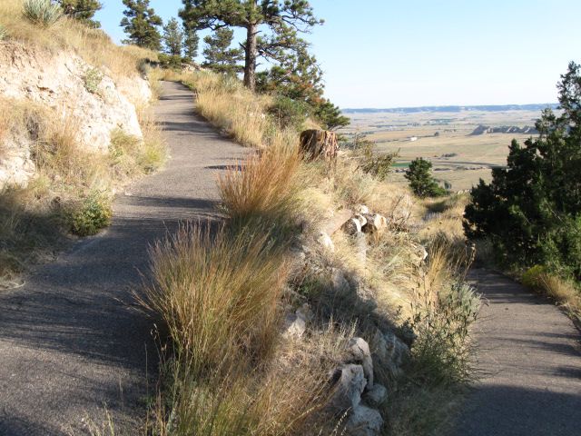
34. Trail continues toward the top.
36. Trail continues toward the top.
38. Trail continues toward the top.
40. Looking South East down toward the first Bluff we went around, remember the resting bench.
42. At the top of Scotts Bluff National Monument, start of Saddle Rock Trail down.